

Streak to Mission Peak - 7.9 miles
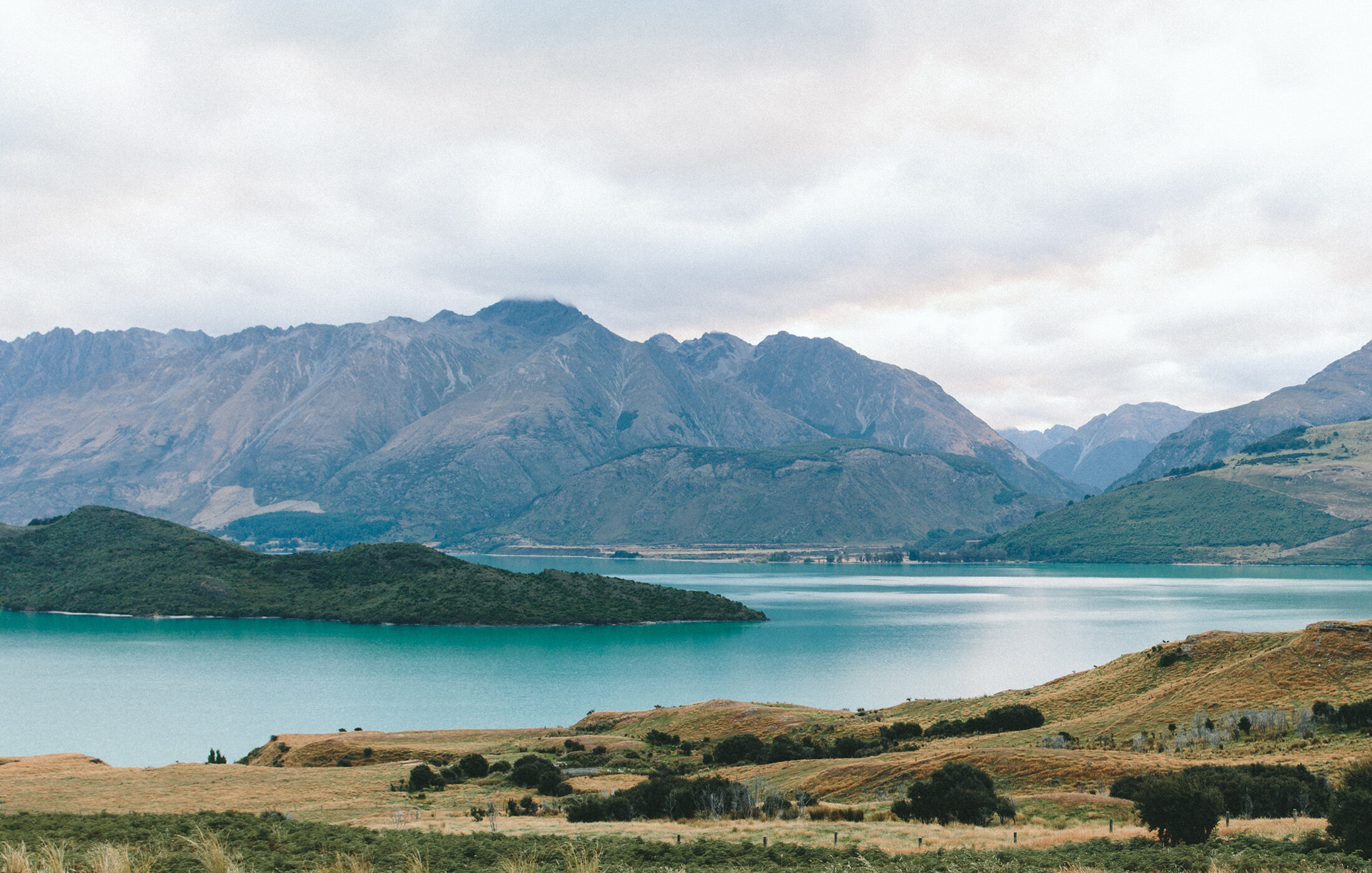
Pacific Coast Trail Runs and thetrailportal.com welcomes you to our first "Streak to Mission Peak, apart of the 2021 Bay Area "Open Course" Triple Crown Event. Mission Peak rising steeply to the east of the city of Fremont, Mission and Monument peaks form a dramatic backdrop to the South Bay. The determined adventurer who reaches the top of Mission Peak will be rewarded with views of Mount Hamilton to the south, the Santa Cruz Mountains to the west, Mt. Tamalpais to the north, and Mt. Diablo and the Sierra Nevada to the northeast. Hawks and vultures share the summit airspace with sailplanes riding the thermals, and a down-to-earth herd of feral goats roams the cliffs.Take your picture in front of the iconic Post.
Jan 8th -> April 10th, 2022
Event Information
Location: Mission Peak Fremont Ca
Event Format: "Open Course"
Trail Sport: Trail Running and Hiking.
Event Start Date: January 8th, 2022 - Sunrise
Event End Date: April 10th, 2022- Sunset .
Time: Sunrise to Sunset Daily Follow all Park Rules posted on the Park website below. Please note that hours are strictly enforced. Visitors found inside the park, entrance area, and parking lot after posted hours will be subject to citation
Entry Fee**: $29 (Please note that this is a TheTrailPortal.com event Sponsored by Pacific Coast Trail Runs. Therefore, Race Credits from volunteering or postponed/cancelled PCTR events is not applicable).
Course Start: Ohlone College, corner of Witherly @ Mission Blvd.
Distances: 7.90 Miles
Elevation Gain: +2,250' Elevation Gain with 14% Average Grade the first 3.8 miles
Course Trail Type: Mix of paved road, stairs, single track and short technical scramble.
Directions and Parking
Free Parking is available on Mission Blvd or paid parking @ Ohlone College. More parking information here. There is also public transportation – see park website.
Trail Tips
The main trail is the Peak Trail. Old signage or different mapping apps may use different names, if in doubt always follow the Peak Trail to the Summit.
Water: There are no water sources on the course, plan accordingly – the mountain can get very warm during the day hours as there is very little cover or shade
Restrooms: There are Porta Potties at the start of the Peak Trail and Park restrooms 1 mile from the summit (park restrooms are subject to closure do to current and changing Covid conditions)

Course Information
Here you will find all data and information necessary for you to have a safe and enjoyable time while participating during the "Streak to the Peak" event. We recommend you with print the following if you are unfamiliar with the course. We also recommend at a minimum you download the RunGo App and use while navigating the course.
Map Links
Printable Maphttps://drive.google.com/file/d/1EsYzBt9KGYA5mV6QCNXEfzG8frjagHZA/view
Elevation Profile https://drive.google.com/file/d/1wvws61HdpRhsQIT0bbKiVTczqz7WPXk-/view
GPX File https://drive.google.com/file/d/1A-XO_zyeO6Z3mQ2dg8SfScWCh47XG1-C/view
RunGoApp (Voice Activated Course App) https://routes.rungoapp.com/route/BEkoiGtas4
Turn-by-Turn Directions:
Start at Witherby Lane on the dirt trail parallel to Mission Blvd (head south)
• At mile .36 Sharp left onto Anza-Pine Road
• At Mile .62 turn right. Go towards the trailhead above the tennis courts
• At Mile .70 turn left and start up the Peak Trail (also known as the YSC Trail)
• At mile .95 make a sharp right stay on the Peak/ YSC Trail (The Trail at this point can have 3 different names The Peak Trail the YSC Trail and The Spring Valley Trail. Different mapping systems use different names, The Peak Trail will be on most signs.
• At Mile 2.50 stay to the right and continue on the Peak Trail (Regional Park Trail)
• Follow the Peak Trail to the top of Mission Peak to the turnaround at the Post (Known as the Peaker)
• Turn around and head back down the trail the same way you came up

Swag, Pics, & Results
Facebook | Instagram (PCTR) | Instagram (The Trail Portal) | TwitterLive Leaderboard:
https://routes.rungoapp.com/virtual/race/leaderboard/fawPqDrT0v
Pics
Express yourself and add your Streak to Mission Peak photos for everyone to enjoy.
https://routes.rungoapp.com/route/ISK79XgQVe
SWAG - All entrants will receive the following:
1. First 15 to register receive a Custom Neck Gaiter: Event logo/design imprinted on 10 inch face covering pulled up from neck line.
2. Streak to Mission Peak SiliPint cup
3. Race Sticker: Streak to Mission Peak Logo sticker
4. TheTrailPortal.com Sticker